I left Edwin by Sir Bevill’s monument and continued on for my last 7.4 miles. There were fine views until it began to rain.
A golf course, the racecourse and a last hill fort were passed until I came to Prospect Stile. From here it was a long slow
descent to the Bath suburb of Weston and then my last steep climb to the hill above Bath. I passed my last golf course at
High Common and had lunch in Victoria Park. Here the dampness turned to real rain but I went on past Royal Crescent,
the Circus and the Roman Baths to be greeted by Edwin at the West Door of Bath Abbey having completed this year’s
personal challenge.
1. 2. 3. 4. 5.
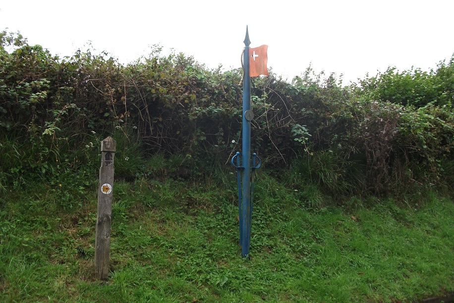
1. Battlefield Maker for the Battle of Lansdowwne by trail marker.
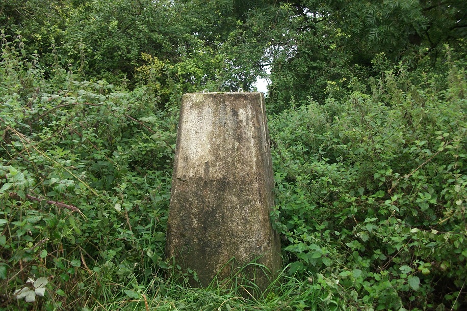
2. Hanging Hill - overgrown Trig Point
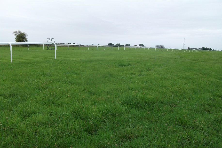
3. Bath Race Course
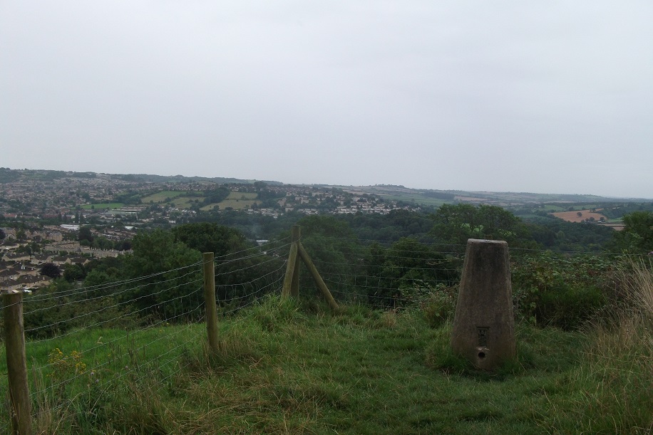
4. Dean Hill - view past Trig Point towards Bath.
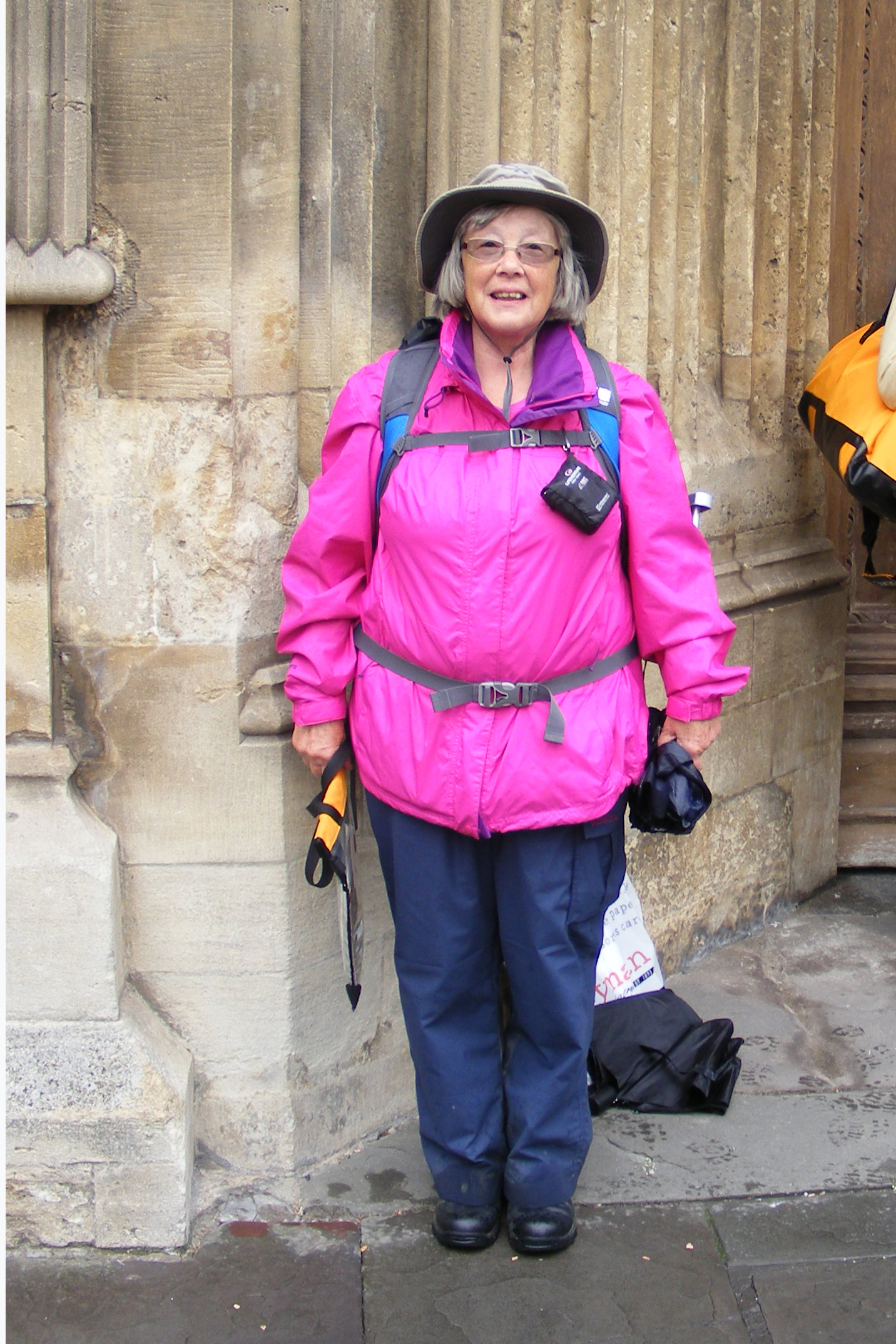
5. Elaine standing by West Door of Bath Abbey at the end of the Cotswold Way.
Statistics
I passed:- 6 Long Barrows
10 Iron Age Hill Forts
6 Golf Courses
6 Hill top monuments